
Man, 76, taken into custody after 2 found shot dead in Chester Co. house
Pennsylvania State Police took a 76-year-old man into custody after two people were found dead in a Chester County home Thursday night.


-

Supercross brings jumping dirt bikes to The Linc in South Philadelphia
How about this for Excitebike come to life! After more than four decades, Supercross is back in Philadelphia.
-

Sen. Casey, challenger McCormick ready to debate in Pa.'s 2024 US Senate race
Democratic U.S. Sen. Bob Casey of Pennsylvania wants a series of three debates with his Republican challenger David McCormick ahead of the November election, and McCormick is readily accepting.... -

The Pa. twist that led to National Pretzel Day 2024
Do you like pretzels? Well, you are knot alone! April 26 marks National Pretzel Day. Here’s all about the local connection to the popular holiday and where you can snag a free pretzel.
-
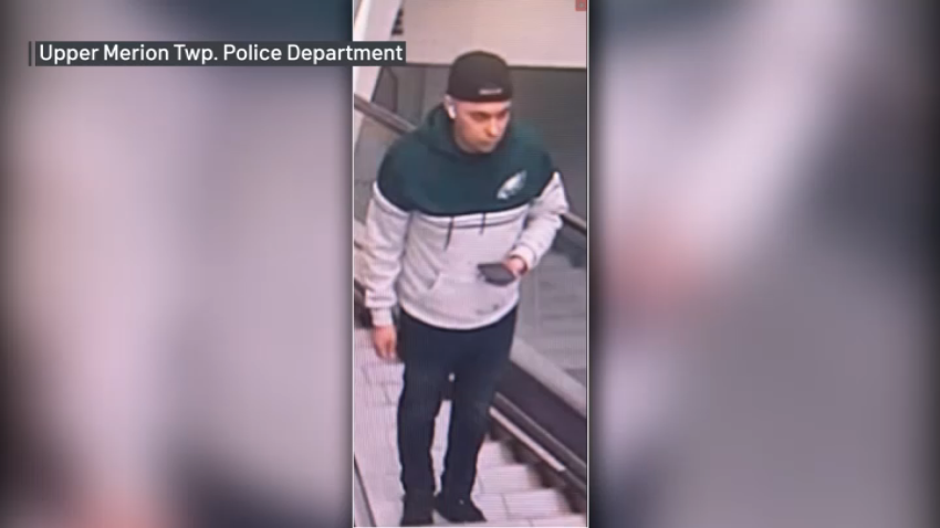
Man wanted after spying on woman in dressing room at King of Prussia Mall, police say
Police are asking for the public’s help in identifying a man they said was involved in an incident at the King of Prussia Mall on Wednesday.