
What to Know
- Rounds of light to moderate rain will impact the morning commute with damp roads and sidewalks on Monday with more rain during the evening.
- More rain is expected later on Tuesday as warm air builds.
- Rain will briefly change to wet snow overnight Tuesday into Wednesday morning.
A three-part weather system will promise to bring dramatic changes to our weather this workweek.
MONDAY INTO MONDAY EVENING: Round of Rain
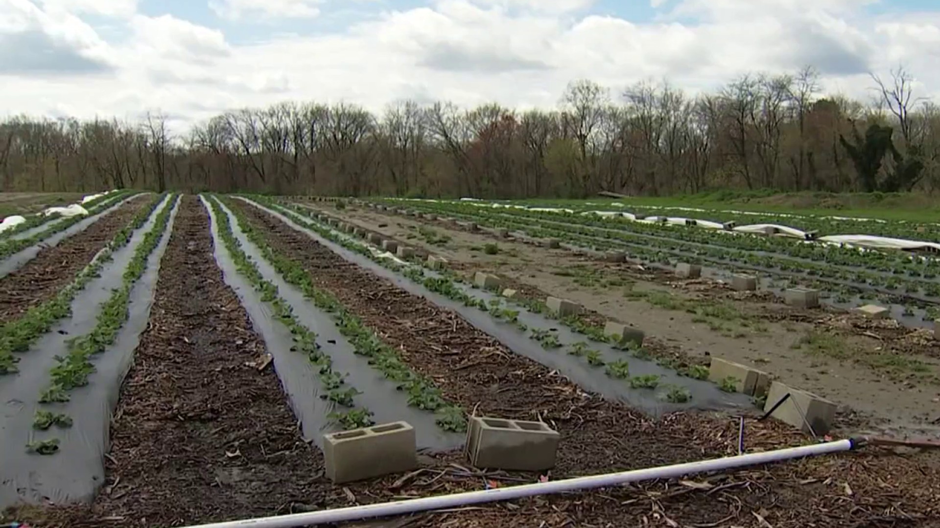
Rounds of light to moderate rain impacted the morning commute with damp roads and sidewalks.
Temperatures Monday morning started off chilly in the 30s and low 40s. Watch out for wet roads and a slow commute.
Another round or two of steady to heavy rain will move through during the late afternoon and early evening.
Weather Stories

This round of heavier rain will also bring in milder air and gusty winds… temperatures soar into the upper 50s, winds gust to 30 to 35 mph.
Temperatures by the Eagles game will soar into the upper 50s to near 60. Expect pockets of rain and showery weather throughout the game.
No FIRST ALERT is needed as of now since rain impacts will not cause any major disruptions and winds are not projected to be damaging.
TUESDAY: Warm and Showery
Cloudy and mild for the morning commute Tuesday, but rain redevelops later in the morning and will likely continue through the afternoon and evening.
The big story will be the WARM air as highs climb well into the 60s… possibly to near 70 in southern Delaware.
A gusty warm breeze will be around much of the day.
WEDNESDAY MORNING: Colder and Some Wet Snow
Rain will briefly change to wet snow overnight Tuesday into Wednesday morning.
Since ground temperatures will be so warm from the recent 60-degree weather, road conditions are not expected to be a problem.
People can expect to see some steady snow during the morning commute with most of it melting on sidewalks and roads.
1 to 2 inches of grassy accumulation is possible up in the Lehigh Valley, Berks County, and upper Pennsylvania suburbs.
Temperatures plunge 30 degrees by Wednesday afternoon from their levels Tuesday. A real shock to the system.
Keep checking back to this forecast as adjustments may need to be made.
MONDAY: Periods of rain, some of it heavy at times. Temperatures rising in the evening. Winds increasing to 10 to 20 mph during afternoon with gusts to 30 mph by evening.
HIGH: around 60
TUESDAY: Variable clouds with a few rounds of showers. Not a washout. Sunshine between showers possible. Unseasonably warm.
HIGH: mid 60s
WEDNESDAY: Morning wet snow ending by midday. Minimal impact to roadways. Falling temperatures.
HIGH: around 40
THURSDAY: Sunny and cold.
HIGH: mid 30s
FRIDAY: Increasing clouds. Rain at night.
HIGH: low 40s
SATURDAY: Periods of rain, milder.
HIGH: mid 50s
SUNDAY: Early shower possible, otherwise turning partly cloudy and breezy.
HIGH: around 50
Stay with the First Alert Weather team for the latest weather updates.
