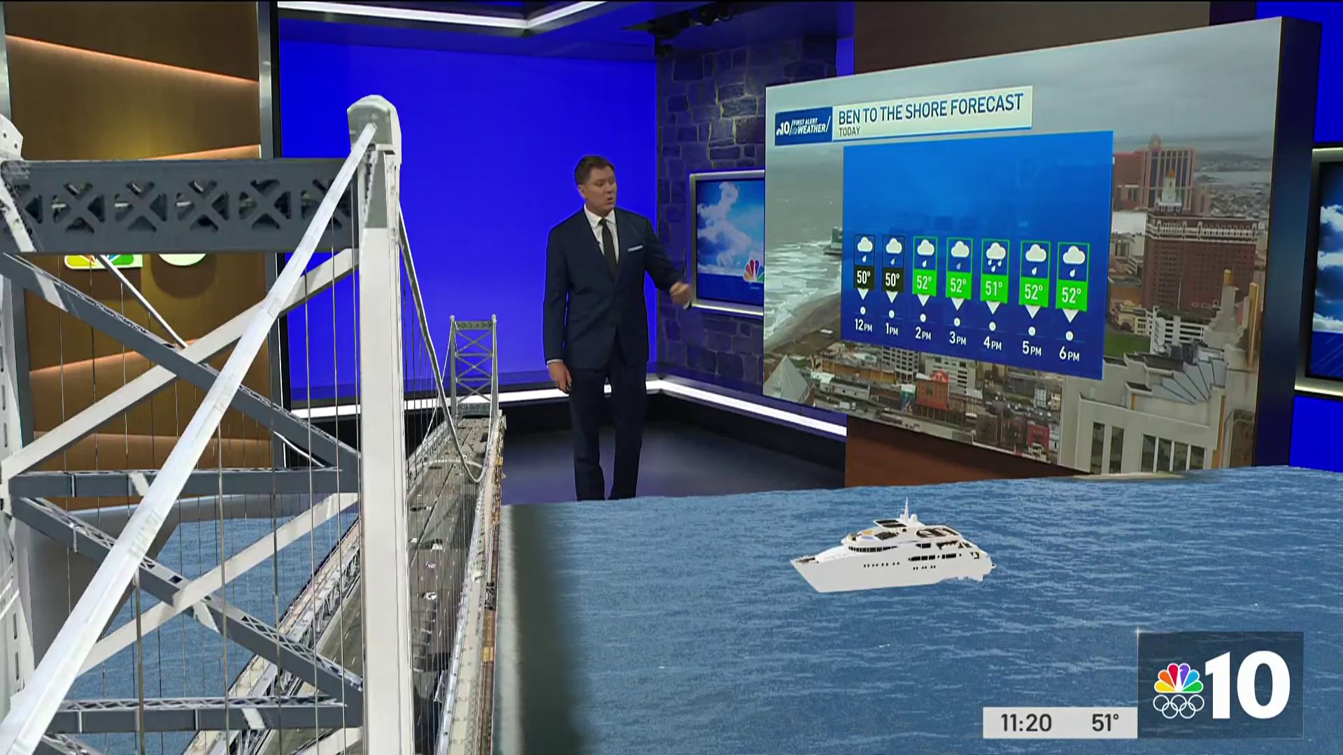
This is what you call the nuisance storm -- just a tease compared to what we could get this weekend.
The overnight snow has ended and temperatures will warm up into the low 40s today.
Philadelphia public and private schools were open, but we did have quite a few school delays and a few weather-related closings.
But here's what you really have to look forward to -- the potential for significant snowfall Friday into Saturday.
Here's how Glenn "Hurricane" Schwartz boils it down:
A much bigger storm was moving into Mexico's Baja Peninsula from the Pacific. It already packs a lot of moisture with it.
The storm should pick up even more moisture as it crosses into the Gulf of Mexico in the next couple of days.
We want to see your Winter Weather photos and videos! Upload them here or simply email us at isee@nbcphiladelphia.com.
A strong jet stream (fueled by the strong El Nino) should help the storm intensify. As it moves toward the colder air, snow should break out late Friday or Friday evening and continue through Saturday.
Weather Stories
This storm could again be stronger in the south. Like other storms this winter more snow may fall in southern parts of our area.
This storm, however, might not be suppressed very far south, so all of our area has the potential for significant to major snowfall.
As the storm intensifies off the Atlantic coast, northeast winds should increase Saturday -- possibly becoming quite strong.
Things could change. The storm is still three days away so there could be some changes to the track and intensity of the storm, which would affect potential snow amounts.
But, there is a high risk of a major snowstorm for at least part of the area.
Stay tuned.


