


Marvin Gomez is a bilingual meteorologist. You can watch Marvin’s forecast every weekend morning starting at 6am on NBC10.
Marvin has served southeastern Pennsylvania, New Jersey, and Delaware by providing weather updates and alerts about flooding, wildfires, winter storms, extreme heat, tornados and hazardous air quality. He has delivered the most accurate forecasts for our area since July of 2022.
Prior to NBC10 News, Marvin was a meteorologist at AccuWeather. There he gained national experience covering all types of severe and extreme weather from coast to coast. Tropical cyclones are the most fascinating weather to him. Some of the most prominent hurricanes he has covered include Ida, Eta, Iota, Matthew, Florence, Laura, Maria, and Michael.
Marvin started his career as a community journalist for Univision in Orlando, FL after earning a Bachelor of Arts in Mass Communications from Lewis University in 2016. He became a meteorologist after obtaining a Weather Forecasting Certificate from Penn State University in 2020… and a Bachelor of Science in Geosciences with a concentration in Meteorology from Mississippi State University in 2021.
Born in Guatemala, Marvin came to the U.S. when he was nine years old and lived in Chicago most of his life. While working for the AccuWeather Network, he became the first Central American meteorologist on an English language network. Promoting and encouraging higher education is an important cause he is passionate about.
In his free time, Marvin loves sightseeing, spending time in nature, and going out on walks. He likes being in the suburbs, often in Montgomery County or going out to wineries and restaurants in Bucks County. He enjoys the “simple things in life, such as seeing a sunrise at the beach” from Sea Isle City. Marvin is learning Italian and hopes to travel to all 50 states and visit as many countries as possible.
Connect with Marvin!
Instagram – @marvingomeztv
Facebook – @marvingomeztv
The Latest
-
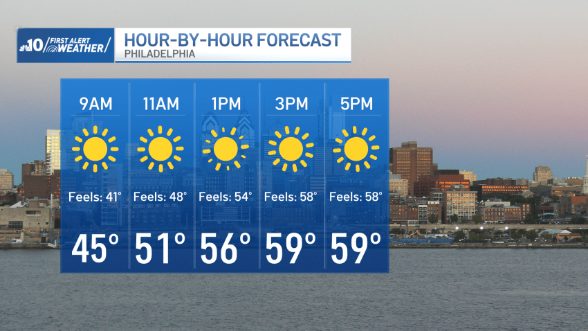
Cold Sunday morning gives way to sunshine and highs in the 60s
The Philadelphia region will see plenty of sunshine Sunday before temperatures climb into the 70s early in the workweek.
-
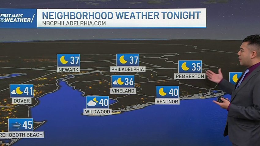
The rain is gone, but here comes the cold
The coldest air of the season will especially be felt Saturday night, with low temperatures in the 30s.
-
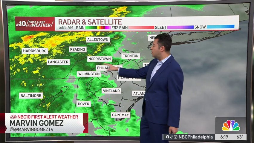
A rainy end to the weekend
Expect a rainy Sunday as storms will linger throughout most of the day, intensifying at times, with wind gusts hitting up to 40 m.p.h. at the shore.
-
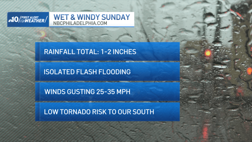
Calm Saturday before Isaias remnants bring heavy rain to Philly area on Sunday
We’re in for comfortable conditions on Saturday before remnants from Isaias bring heavy rain to the Philadelphia region on Sunday.
-
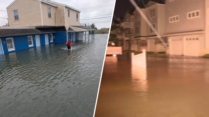
Nor'easter brings flooding, strong winds across Jersey Shore
Coastal flooding, strong wind gusts and beach erosion continue at the Jersey Shore Sunday as a nor’easter moves across the region.
-
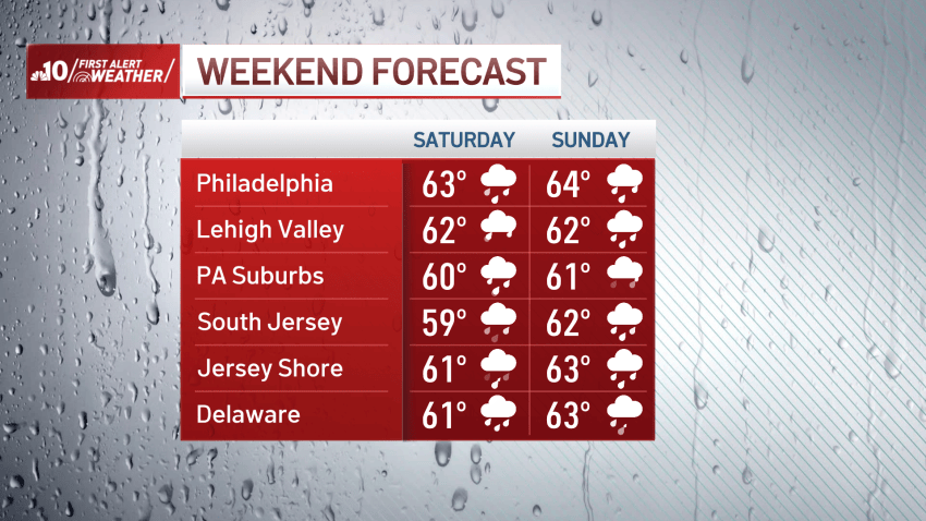
Wind, rain ramp up as coastal storm moves closer
A wind advisory is in effect for all neighborhoods except Berks, Lehigh, and Northampton counties.
-
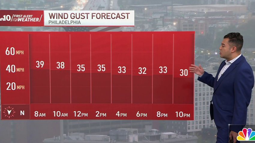
Powerful winds hit the region as nor'easter approaches
NBC10 First Alert Weather meteorologist Marvin Gomez has the latest on the nor’easter that’s bringing rain and powerful winds to our area Saturday.
-
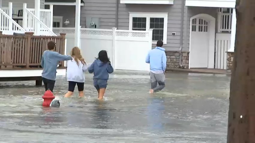
Nor'easter brings heavy rain, flooding, strong winds across Jersey Shore
Coastal flooding, strong wind gusts and beach erosion continue at the Jersey Shore Saturday as a nor’easter moves into the region.
-
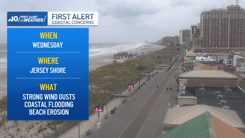
Coastal flooding, dangerous surf and strong winds expected this week
The Jersey Shore will experience strong winds and coastal impacts, as the rest of us deal with cooler temps and gloomy weather
-
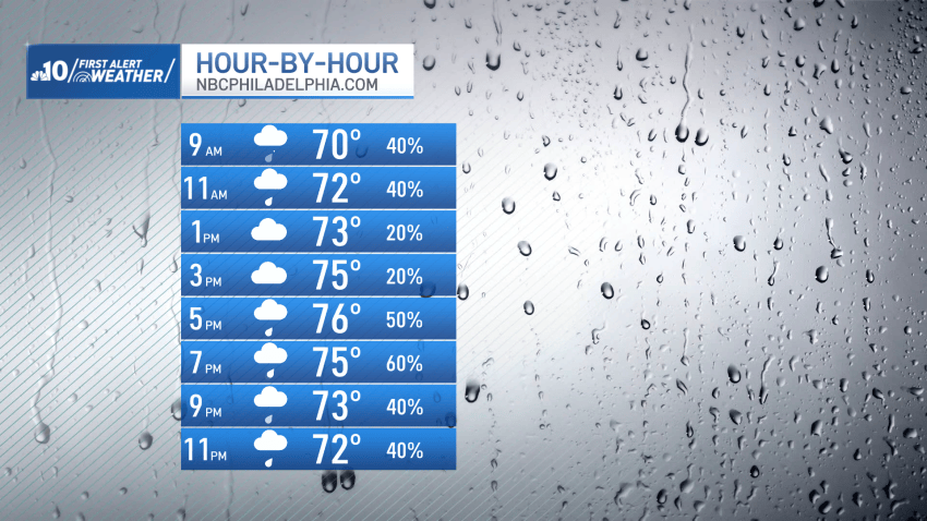
Rainy Sunday for the Philadelphia region, wet weather continues through the week
We’re in for mostly rain on Sunday and the wet weather will continue in the Philadelphia region throughout the week.
