
More than 5 inches of rain poured from the skies causing major flooding and even prompting a state of emergency in multiple townships.
Darby Borough, Marple Township and Chester City all declared States of Emergency just before 9:30 p.m. because of flooding and road closures in the area.
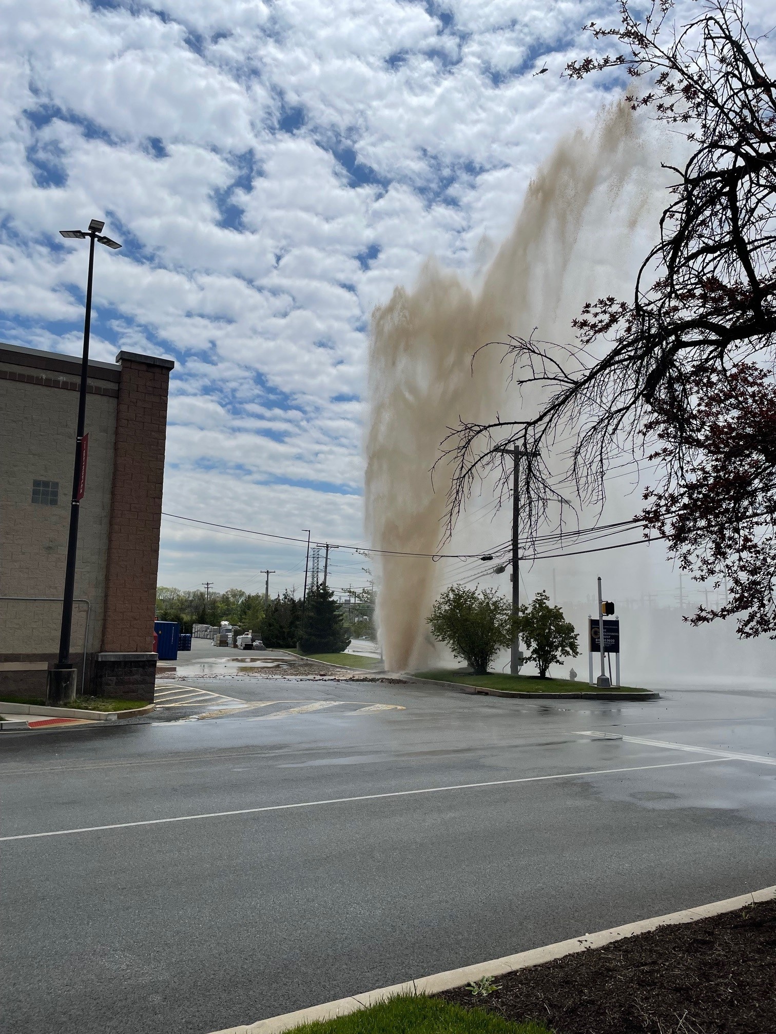
Many of the creeks and rivers in the area will crest between now and 8 a.m. Thursday.
The Schuylkill River in Philadelphia is expected to crest at 8 a.m. and as of 2:30 a.m. was already nearly three feet above flood stage at 13.8 feet, according to the National Weather Service.
The floodwaters closed Cherry Street, 24th Street and other Center City streets -- swamping parked cars.
Up the river in Montgomery County, the Schuylkill crested even higher, reaching 20.8 inches as of 2:30 a.m. in Norristown, Pa. -- that's well above the 13-foot flood stage, according to forecasters.
Local
Breaking news and the stories that matter to your neighborhood.

That's higher than it crested during Hurricane Irene in 2011 and the seventh highest in city's history, the Philadelphia Emergency Operations Center tweeted.
A similar situation played out along the Neshaminy Creek in Langhorne, Bucks County. The creek steadily rose through the day Wednesday and by Thursday at 2:15 a.m. had hit 14.6 feet, well above the 9-foot flood stage.
In Chester County, the East Branch Brandywine Creek near Downingtown pushed to 12.4 feet late Wednesday -- well above the 7-foot flood stage.
The Southeastern American Red Cross opened "comfort centers" in Chester County, an area that saw the highest rainfall -- more than 5 inches -- and one in Delaware County with food and blankets for anyone forced from their homes due to flooding.
The Chester County centers are located at the Modena Fire Company at 5 North Brandywine Avenue and at Avon Grove High School at 257 State Road in West Grove.
The Delaware County center is at the Darby Rec Center at 1022 Ridge Avenue in Darby.
As of now, Avon Grove is the only overnight shelter, the others will become shelters if necessary, according to the Red Cross.
The system has dumped so much rain that I-76 eastbound at Belmont Avenue was closed at one of the worst possible times, during the afternoon rush, causing major traffic delays. The road later reopened and was clear Thursday morning.
MLK Drive was also closed in both directions from Sweet Briar and Falls Bridge Road.
NBC10 First Alert Meteorologist Tedd Florendo says drivers should be careful and take extra caution.
“When you have that heavy rain coming down and you’re trying to drive, it’s going to be difficult,” he said. “It’s best to slow down and take your time.”
Meteorologist Sheena Parveen says that the rain will begin tapering off after midnight, although we'll still see some wet weather through Thursday afternoon.
"The morning commute will be better tomorrow with a chance for early showers, maybe a thunderstorm, but not flooding rains like we saw Wednesday," said Sheena.
All that rain prompted the National Weather Service to issue a Flood Warning for parts of southeastern Pennsylvania, central New Jersey and northern Delaware lasting until Wednesday evening and Flood Watch that extends into Thursday.
By 11 p.m. on Wednesday, the rainfall reading for Philadelphia, taken at the International Airport, hit more than 4 inches.
Further west in Glenmoore, Chester County 5.24 inches fell over the course of the day. In Wrightstown, Bucks County, 4.3 inches of rain was recorded and 4.28 inches in Pottstown, Montgomery County.
In Atlantic City, N.J., 1.85 inches fell.
Flying into Philadelphia was also troublesome thanks to the storm. At the height of the storm, flight arrival delays were averaging 2 hours at Philadelphia International Airport, a spokesperson said.
The precipitation is part of the large storm system that spawned devastating tornadoes in Arkansas and Mississippi. But for our area, we will only saw lots of rain and wind.
