
What to Know
- A First Alert for flooding for northern suburbs in Pennsylvania and New Jersey has expired.
- A storm system from the west combined with a nor'easter, bringing high winds and heavy rain, especially to New Jersey. The backside of the storm could bring more rain Tuesday afternoon and early evening.
- Watch out for ponding on roads and wet leaves that can cause slippery conditions.
Severe thunderstorms with lightning and heavy downpours moved through the Philadelphia region Monday night into Tuesday morning, leaving a flooding threat as some wet weather continued Tuesday as winds kick up.
A system from the west already left some damage across parts of the Midwest before it brought damaging winds and heavy rain to our area. The system on Tuesday is combining with a system over the ocean, bringing more rain and wind in the evening and at night. It is expected to hit New England especially hard.
Several severe thunderstorm warnings were issued throughout the region Monday night, including Philadelphia, Burlington, Camden, Gloucester, Chester and Delaware counties. Those warnings later expired.
Get Philly local news, weather forecasts, sports and entertainment stories to your inbox. Sign up for NBC Philadelphia newsletters.
Downed trees and wires were reported throughout the area Monday night, including Montgomery and Chester counties.
Monday night and early Tuesday, totals of 2 to 3 or more inches of rain fell in parts of Philadelphia area, especially eastern neighborhoods. Another half an inch or locally higher could fall, but that will be more isolated through Tuesday night. The inches of rain that already fell on parts of the Philadelphia region overnight, left a flood threat and plenty of slick spots on roads during the morning commute.
Be careful driving due to ponding on roadways and leaves that can become slick like ice.
A flash flood watch is in effect until Tuesday afternoon for Bucks, Burlington and Mercer counties as well as the Lehigh Valley. The rain that has already fallen along with some on-and-off showers and more downpours add to the threat.
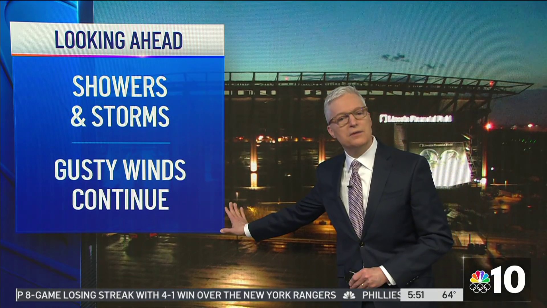
Although the rain tapered off Tuesday morning, it could return before the day ends. The rotation around the strengthening nor’easter will wrap bands of showers and steady rain back into the region by Tuesday evening and night. Briefly heavier bands are possible, along the eastern edge of our region.
Winds picked up Monday afternoon with thunderstorm gusts at night. And then, the nor'easter is bringing another round of strong winds — especially Tuesday afternoon and evening — to the region. Gusts may hit around 30 mph inland, and could go over 40 mph along the Jersey Shore for several hours overnight. Wednesday morning, while dry, will still feature gusty winds.
Gov. Phil Murphy had earlier announced a state of emergency for New Jersey that started at 8 p.m. Monday.
Ahead of the wet weather, temperatures surged into the upper 70s Monday, as the 11-year-old record high of 76 in Philadelphia fell by early afternoon. Temps in the upper 70s Monday are giving way to highs in the lower 60s Tuesday.
The best bet to stay ahead of the storm and be prepared for any weather warnings is to make sure you have the updated version of the NBC10 app downloaded on your device.
