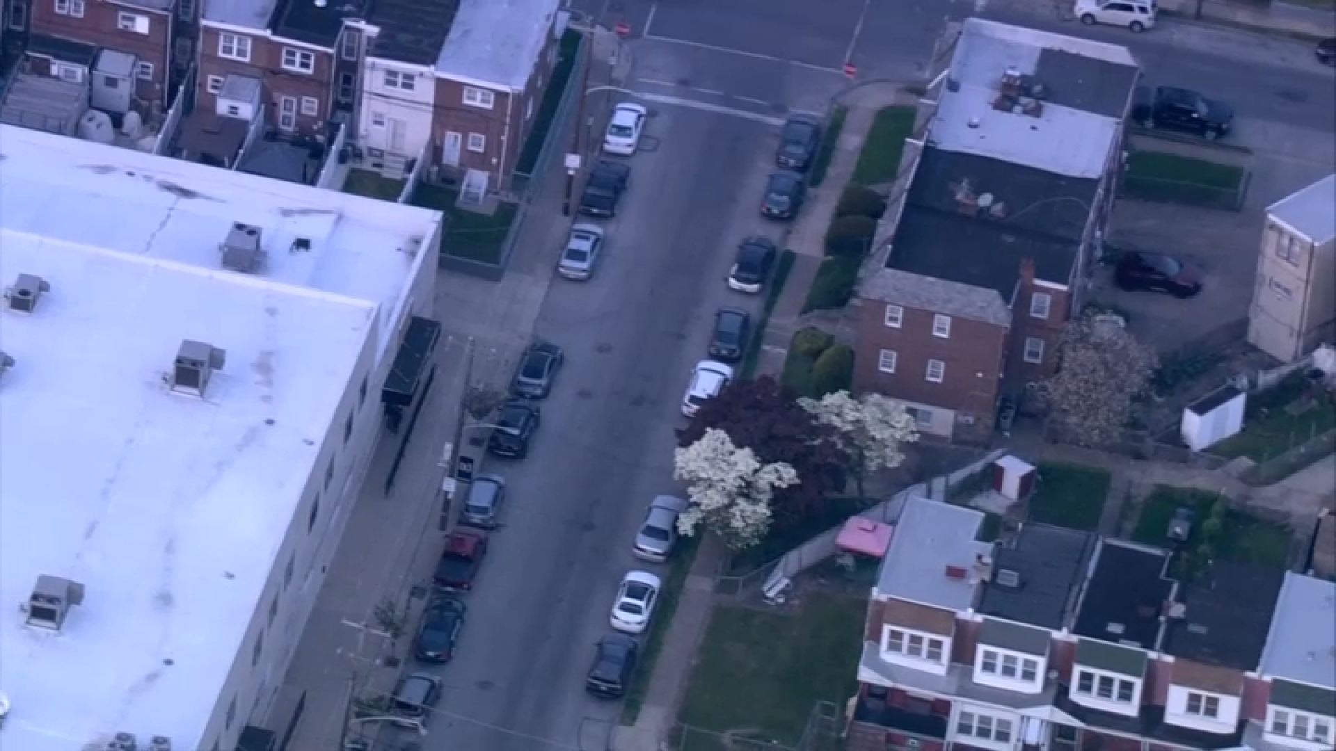
It won’t exactly be a white Christmas but it could be a messy one due to a wintry mix of rain and snow that hit the area on Christmas Eve.
There wasn't much white stuff Monday night but some areas saw accumulation as spots like Abington (1 inch), Allentown (1.5 inches), Bethlehem (2 inches), Brookhaven (1 Inch), Kutztown (2.4 inches), Skippack (1.2 inches), Warrington (0.8 inches) and even Roxborough (a tenth of an inch) saw some snow.
And stay tuned, more storms later in the week could also bring snow.
STORM 1: The Weakest
A Winter Weather Advisory is in effect until Christmas morning in the Poconos as well as Berks, Lehigh and Northampton Counties since the snow could change to some light freezing rain overnight.
The rest of the area saw some rain and slush. Snow flurries even dropped in Center City Monday afternoon despite temperatures staying above freezing.
While the storm won’t cause much accumulation, once the sun goes down, untreated surfaces saw a bit of dusting and snow reached up to 2-plus inches in areas north of Philadelphia, including Allentown and Harrisburg. The dusting could cause fairly slick roadways in several areas, especially the Lehigh Valley, Carbon and Monroe Counties.
STORM 2: The Wettest
Local
Breaking news and the stories that matter to your neighborhood.
Wednesday and especially Wednesday night we will see another, stronger storm move up from Texas. It will have a LOT of moisture with it, so it has more potential to cause problems.
Any period of snow could lead to significant accumulations, so it will be watched closely. There could also be a period of sleet or freezing rain in some areas. South and east of Philly, where all rain is expected, that rain could be heavy at times. Some areas could see more than 2 inches of rain.
Gusty winds are also expected, and there’s even a chance of some coastal flooding.
STORM 3: The “Snowiest”
This one could be a bit colder at the start. The track of the low should be farther south. That combination leads to the POTENTIAL of more snow than the other two storms, even in the city and surrounding suburbs. It’s going to be another close call for snow vs. rain.
It looks to move quickly, so it’s not likely to be a monster storm like some of the ones we’ve seen in the past few years.
But, it is still too early to make a call on this storm. Stay tuned throughout the week for updates.


